-
May 22, 2018
6:30 pm - 8:30 pm
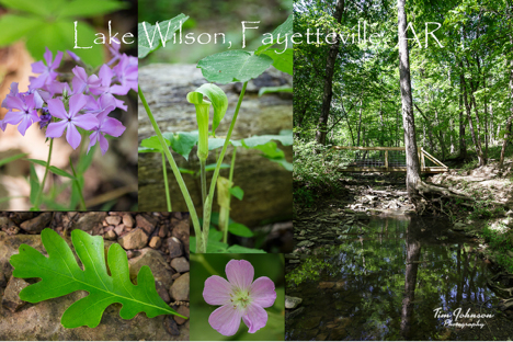
Summer is upon us, and it’s time to get out and enjoy nature. This month we will plan to meet at Lake Wilson in Fayetteville. There are opportunities around the lake and on the two hiking trails. In addition to your camera gear, a hiking stick, bug spray, and possibly a flashlight would be suggestions depending on how late you expect to stay out. There are no lights in the area, so it can get very dark once the sun goes down ( sunset is 8:21 PM).
Lake Wilson was the City’s first drinking water supply. Now, this 320-acre park features two looping trails with rock outcrops and excellent natural beauty. The inside loop trail around the lake is 1.33 miles around and the outer loop trail is 1.76 miles long. The spillway was repaired in 2010, but caution should be used while crossing the spillway section of the trail.
The trail was built by members of the Ozark Society and dedicated to Joe and Maxine Clark in 1995.
Directions: In south Fayetteville, take South School (71-B), turn left onto 156 (Willoughby Rd), (if you get to Drake Field airport, you’ve gone too far) go several miles and at the big curve, turn right onto 69 (Wilson Hollow Road). Follow Wilson Hollow across the White River, when the pavement ends, bear to the left at the fork in the road(Rt.165, Lake Wilson Rd). Proceed to Lake Wilson. Continue straight past the lake dam to the end of the road where you will find a large picnic shelter on the left side of the road, along the lake. We’ll meet at the picnic shelter before we head out.
Google Map link for location:
https://www.google.com/maps/place/36%C2%B000’03.8%22N+94%C2%B008’13.0%22W/@36.0136473,-94.1617249,14.71z/data=!4m6!3m5!1s0x87c96613eed82f81:0x43a2c2e2962ba07a!7e2!8m2!3d36.0010628!4d-94.1369426
PDF of the trails at Lake Wilson Park
http://www.fayetteville-ar.gov/DocumentCenter/View/593/Joe-Clark-Trail-Map-PDF

